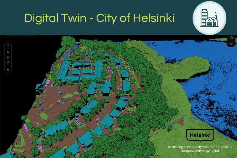
Ai-generated Digital Twin – City of Helsinki
published: 29.05.2024
We would like to thank the City of Helsinki for the excellent collaboration on a recent ground-breaking project.
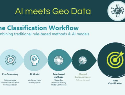
The project involved the processing of two comprehensive airborne laser scanning surveys for the City of Helsinki. The aim was to fully utilize the capabilities of Pointly’s ALS Standard Classifier, specifically enhanced for the unique challenges of the 2017 and 2021 Helsinki datasets.

The City of Helsinki is on a mission to become carbon neutral by 2030 and is actively adapting to the changing climate. A crucial part of this effort involves preserving all green areas and trees in the rapidly expanding city.
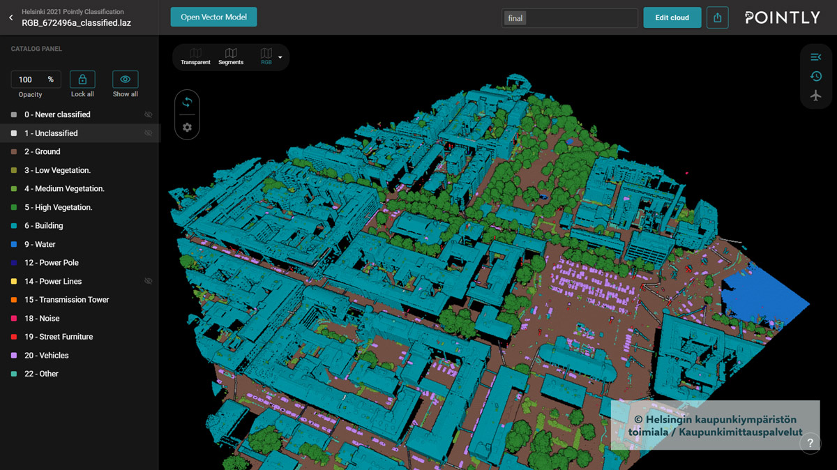
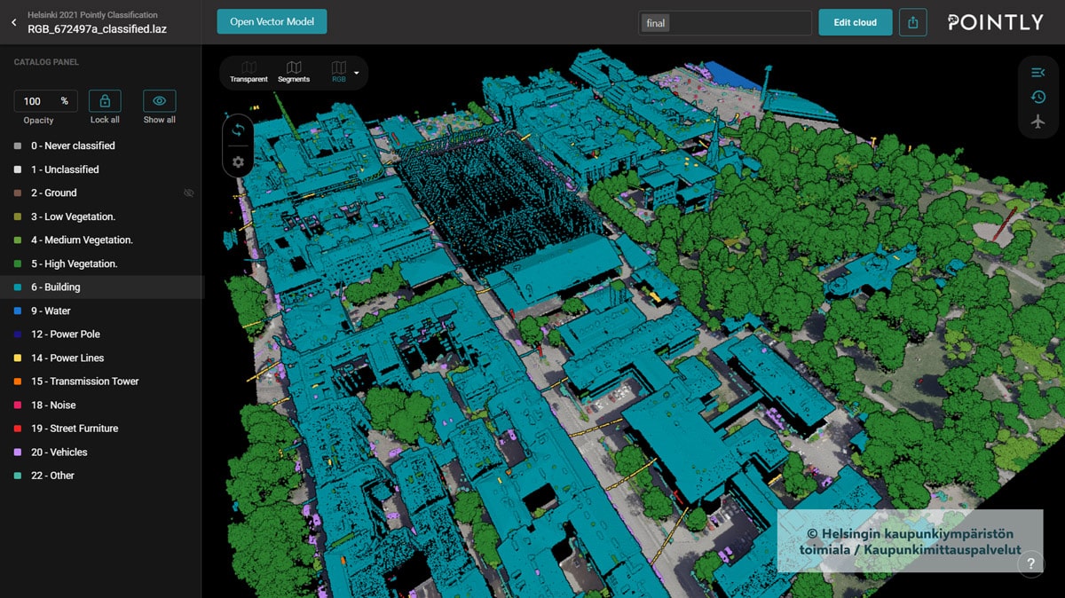
To achieve this, the City of Helsinki relies on aerial survey data, collected annually for several years. Initially, the classification of the original point cloud data was insufficient. However, with Pointly Services, we helped obtain an improved cluster-based classification of vegetation classes.
"Pointly delivered excellent and reliable results with AI classification in just a few weeks," said Suvi Uotila, MSc (Geoinformatics), Team Leader at the GIS Center, Urban Environment Division, City of Helsinki. "In comparison, a manual re-classification would have taken more than six months."
The re-classified data enabled the City of Helsinki to perform various vegetation analyses, such as a forest canopy analysis. "We are extremely happy with the re-classification results and the friendly, fast service of Pointly!" adds Uotila.
Key facts about the Helsinki project:
Comprehensive coverage: the project covered over 700 km² of urban and suburban areas.
Massive data processing: Our platform automatically processed over 30 billion points.
Advanced classification: Integration of the "water" class by overlaying a shapefile to reclassify low points and a detailed separation between low, medium and high vegetation using a cluster-based approach based on distance to ground.
Improved model training: The classifier was trained with open data provided by the City of Helsinki from the years 2017 and 2021.
Noise classification: We performed a separate noise classification to improve the classification quality and usability of the data.
Proving the scalability of Pointly: classifying an entire city
This project not only supported Helsinki's goal to create and improve its digital twin, but also set a benchmark for future geospatial projects.
This project is further proof of Pointly's ability to handle complex, large-scale projects by utilizing advanced algorithms and cloud computing resources, enabling efficient data processing and classification.

Looking Forward
Do you have a similar project or a completely different challenge where you would like to leverage our Pointly platform? Are you curious about our classification and vectorization capabilities?
Please feel free to contact us.
Our experts are ready to provide comprehensive advice to ensure you achieve the best possible outcomes.
Stay up to date with the latest innovations from Pointly by subscribing to our newsletter or following us on LinkedIn
Pointly – Point out what matters.

Pointly is an intelligent, cloud-based software solution to manage and classify 3D point clouds – faster and more precise than ever before.
With Pointly Services you can get on-demand advanced 3D point cloud solutions tailormade for you.


Leave A Comment