What we learn on real point clouds
Project write-ups, classifier notes and product news, from the people who run the jobs. Search for the thing you are working on, or pick a topic.
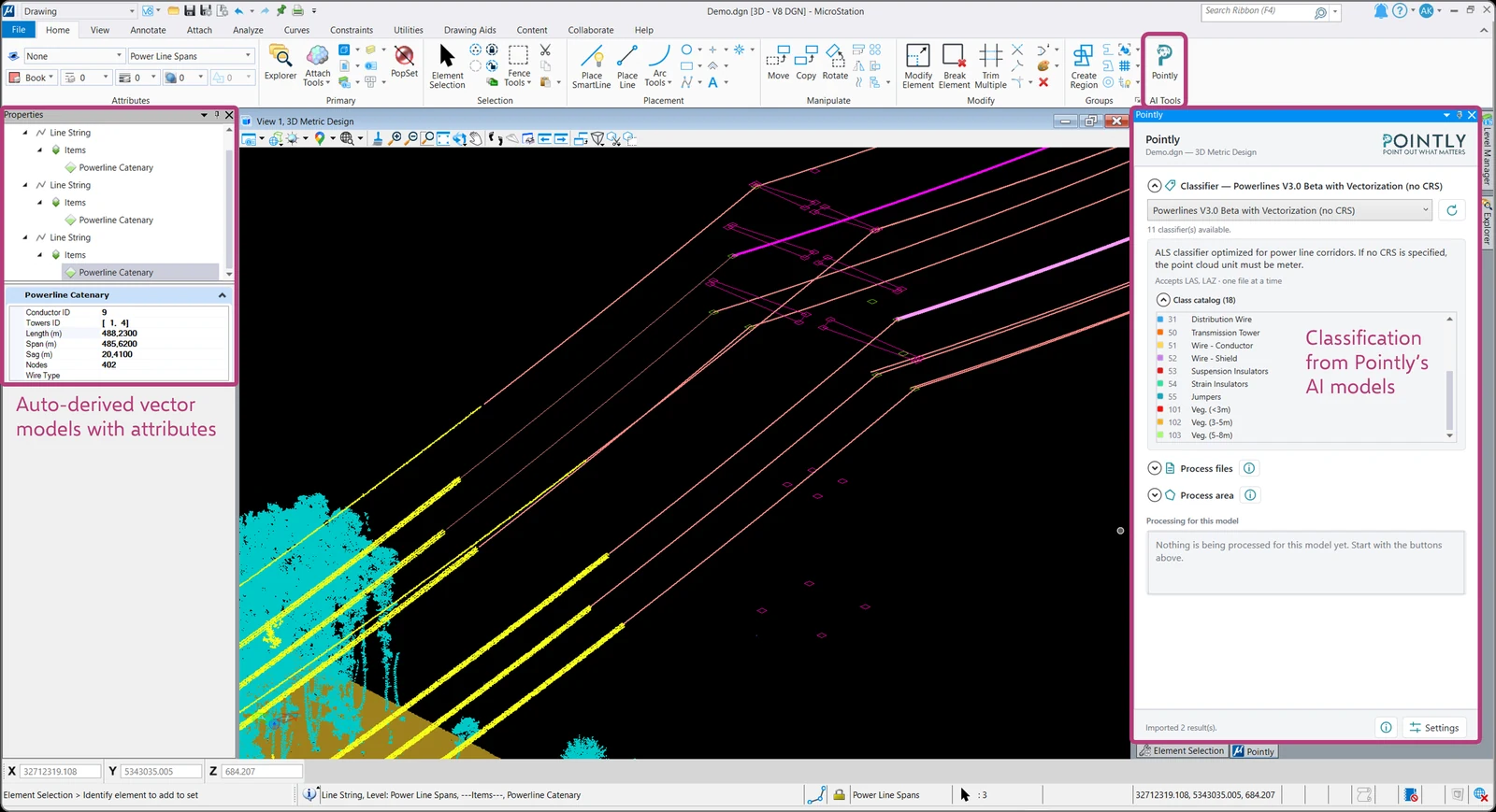
The Pointly Extension for Bentley MicroStation
Pointly now runs inside MicroStation, alongside the tools you already use. Choose a classifier, pick the area you care about, and the results arrive in your model.
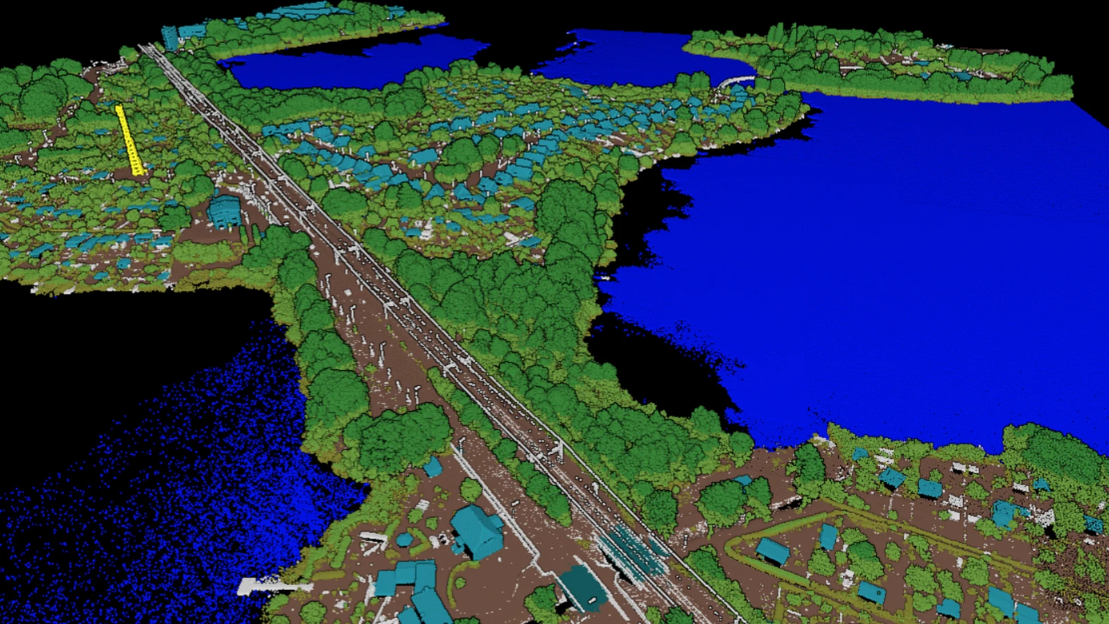
Digital Twin Germany: over 63,000 km² classified automatically
Over 63,000 km2 of airborne lidar, over 4.5 trillion points and a class catalog that had to carry high voltage lines, wind turbines and photovoltaic systems. What a national lot takes, now that the classification is finished.

The Pointly Box keeps classification inside your network
Some surveys can never leave the environment they were captured in. The Pointly Box puts the whole classification stack on a virtual machine inside your own data center, air gapped where your rules require it.
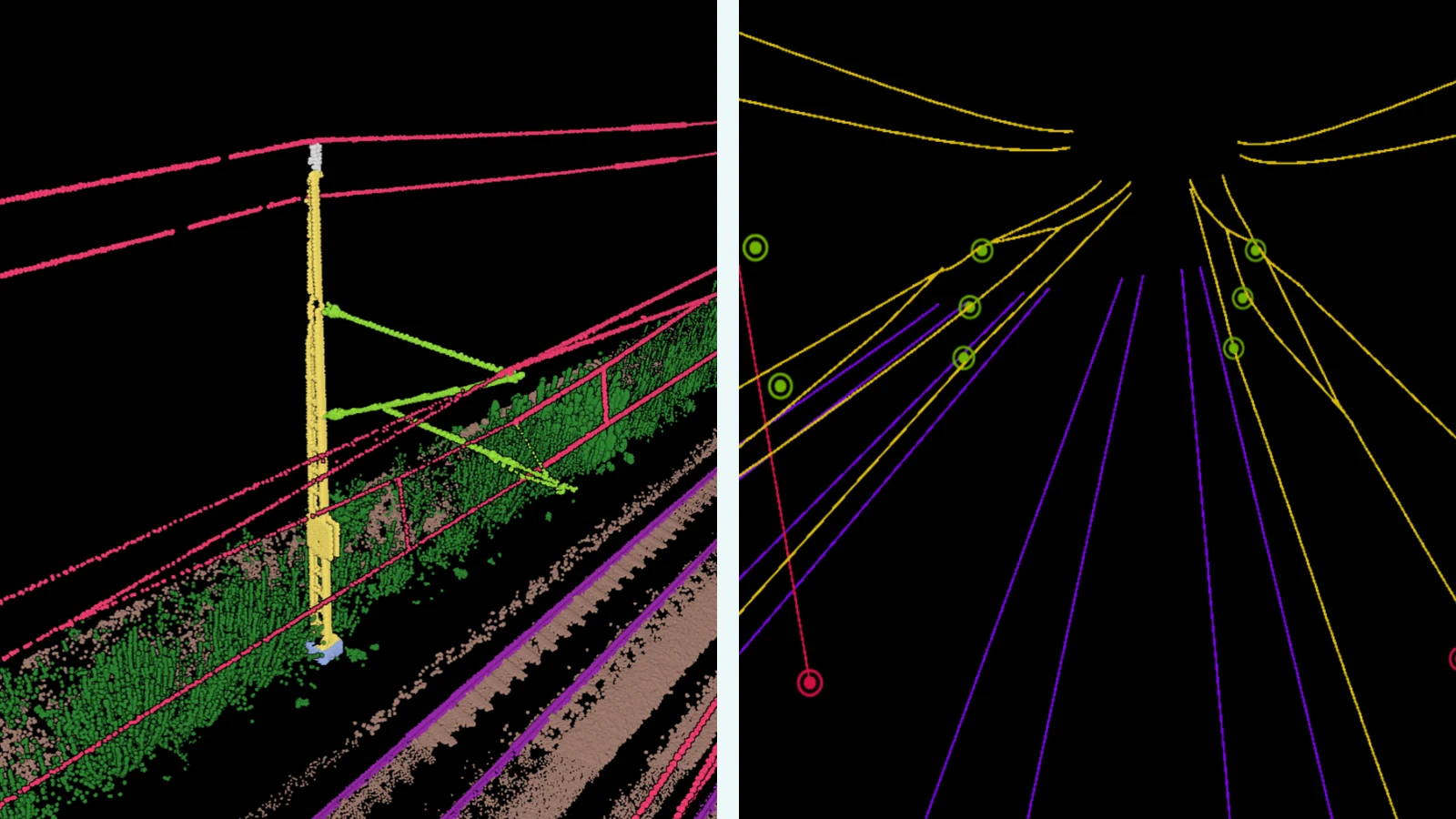
From Point Cloud to BIM Model: AI-Based LiDAR Processing in the Railway Sector
Mobile laser scanning captures a railway corridor in a single run. What turns that run into a BIM model is the classification and the object extraction in between, and both of them are automated.
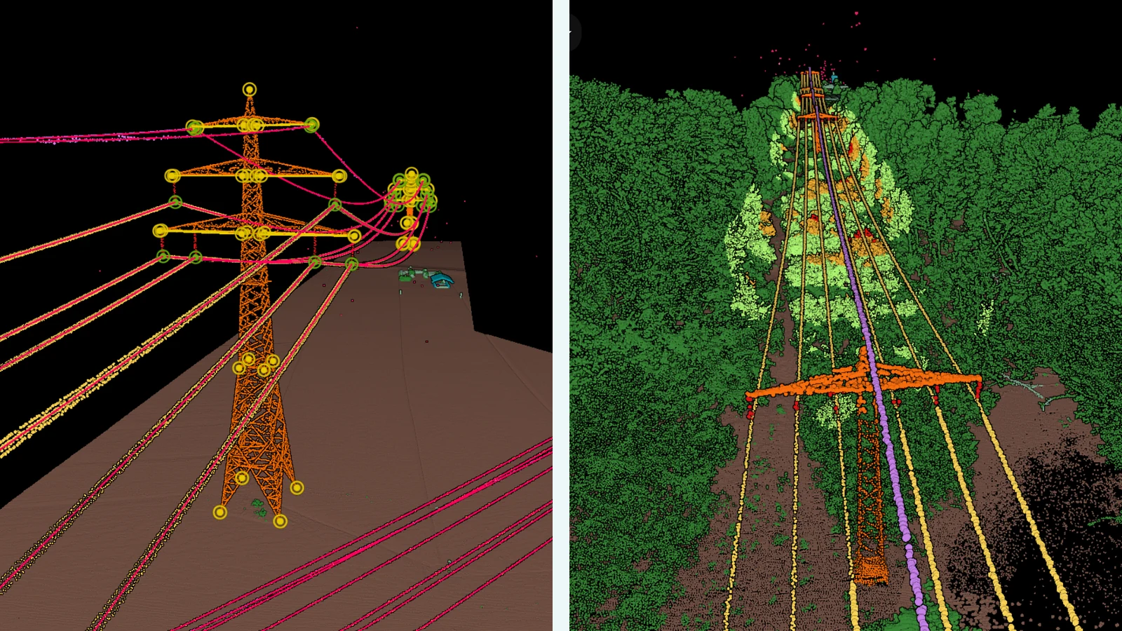
Automatic Powerline Analysis with Pointly
Flying a power line corridor is nearly automatic today. Reading the cloud that comes back is where the hours still go, and that is the part this workflow takes over, from classification through to vectors and encroachment.
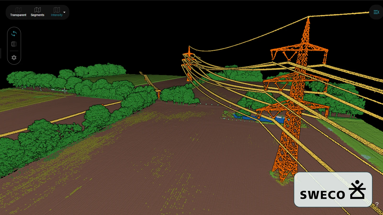
Modern surveying of power line corridors
A corridor survey is only as useful as the classes inside it. What it took to take Pointly's standard airborne classifier and retrain it to SWECO's own catalog, across almost 15 billion points.
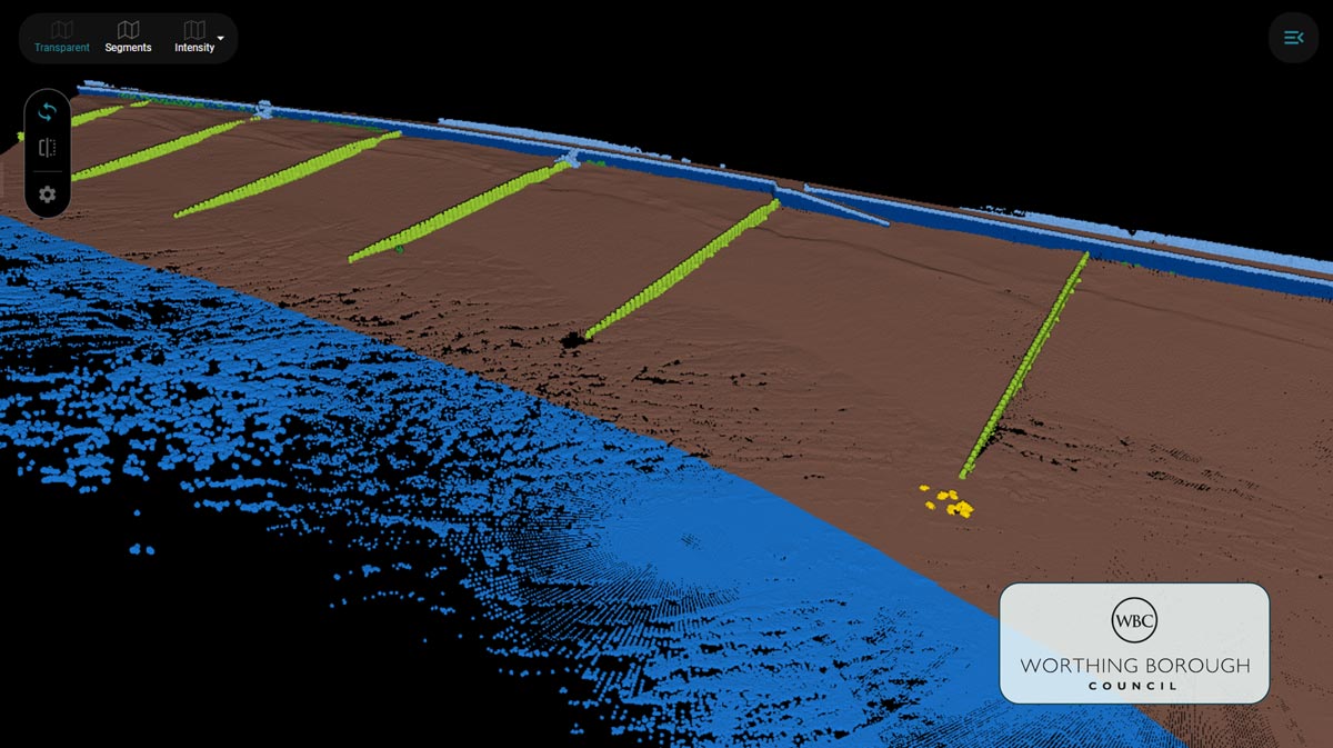
Automating coastal monitoring: the Beach Classifier for Worthing Borough Council
A beach moves, and the scan of it has to be classified before it says anything. We trained a classifier for Worthing Borough Council with the ten classes that matter on that coast, from groynes to seawalls.
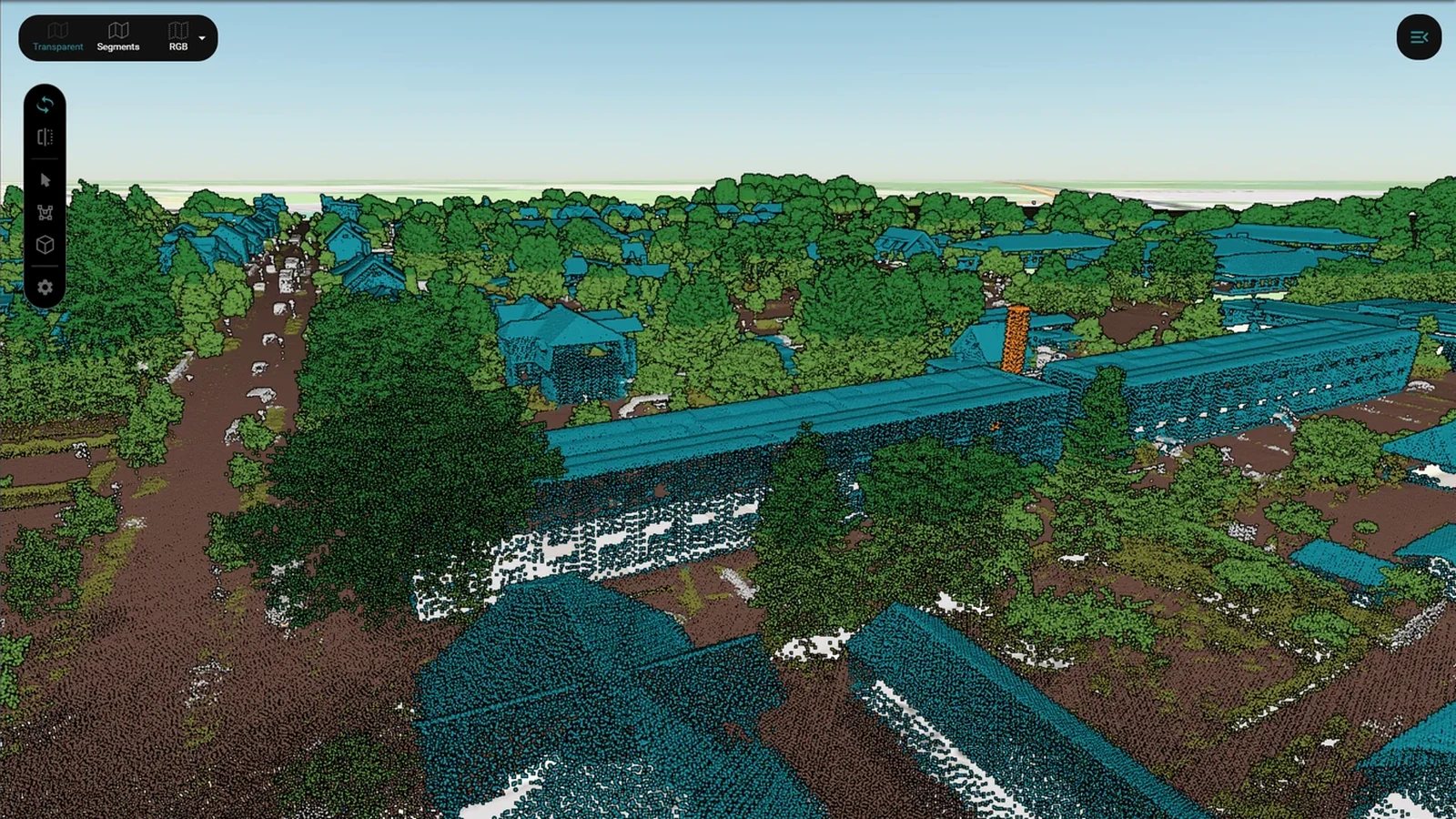
AI meets geo data: the future of digital twins with Pointly
Written for Gis.Business and reprinted here: what a classification workflow is made of, the five steps it runs through, and why the AI model is only one of them.
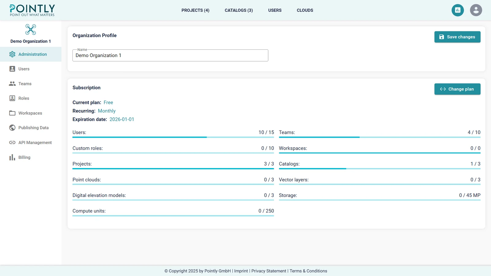
Pointly as a point cloud management platform
Classification is one job in a longer one. What it takes to run the whole estate of point clouds in one place: projects, tags, annotations that carry a conversation, and an organization with roles behind it.
How to export vector data from OpenStreetMap in 4 simple steps
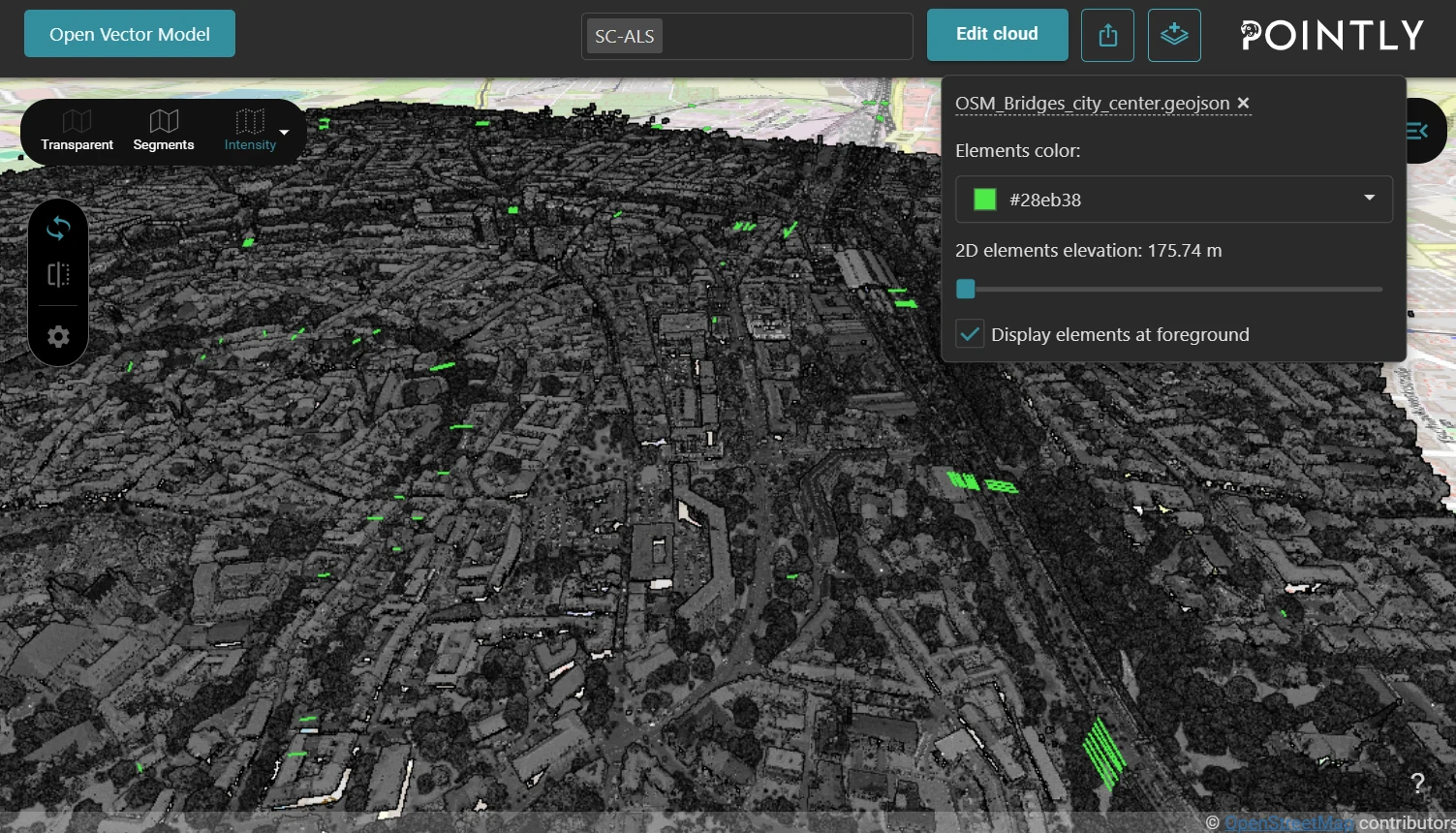
Overpass Turbo turns an OpenStreetMap query into a GeoJSON file, and the viewer draws it over your point cloud. Ten ready queries, from bridges to street lights.
Introducing Pointly's new Mobile Mapping Classifier for city inventories
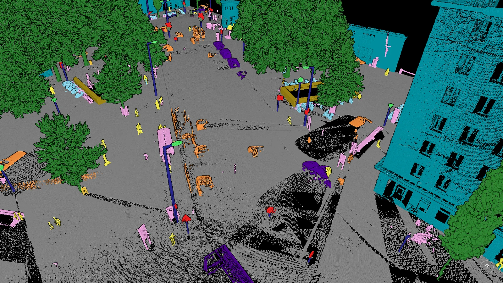
A standard classifier for mobile mapping scans of a city, trained on datasets from Germany and Austria: the surfaces, the street furniture, the vehicles and the people, each in its own class.
Successful collaboration with Digitale Schiene Deutschland: training and deployment of a custom classifier with Pointly
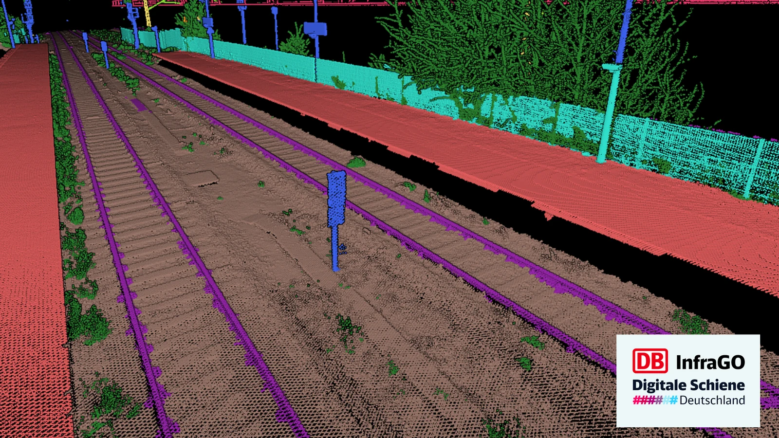
Two iterations of a custom classifier for railway track, the second one built to tell a top rail from the rail under it and to keep vegetation out of the overhead lines.
Preserving the past: 3D point clouds in cultural heritage conservation
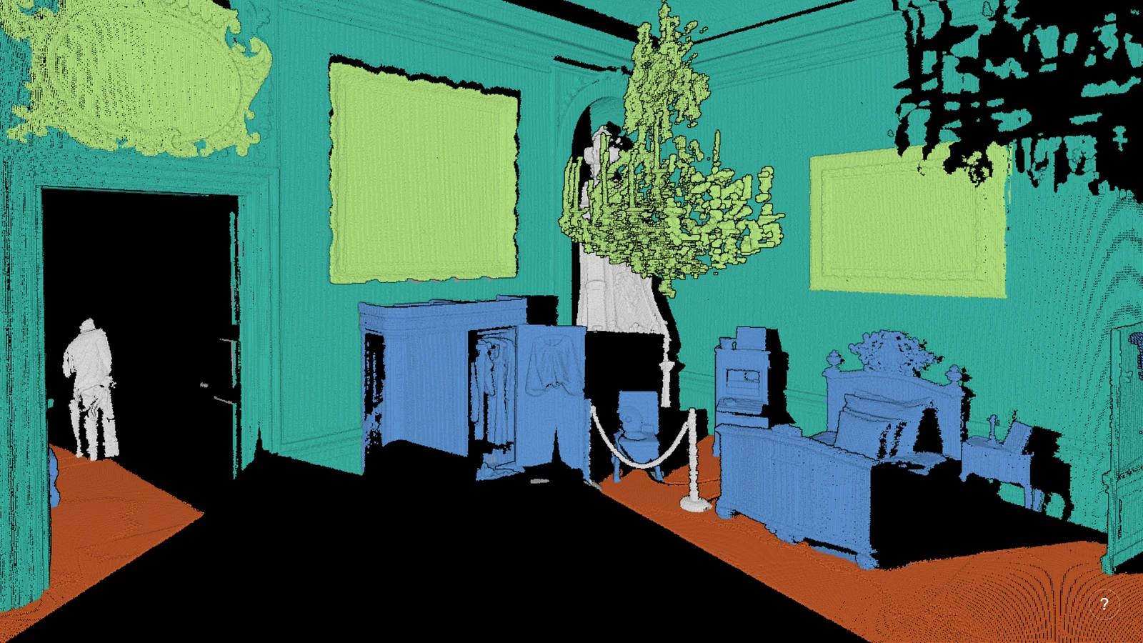
What classification is worth where the thing being scanned may not survive: a palace room separated surface by surface, and the Irpin Bridge as Scan UA recorded it.
Introducing Pointly's Point Cloud Classifier for Highways
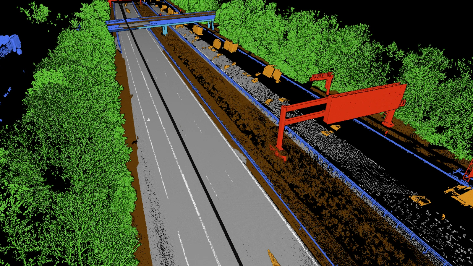
A standard classifier for mobile mapping scans of a motorway: the carriageway, the signs, the barriers and the passing traffic each separated, on data captured at highway speed.
Point cloud vectorization: create CAD models with ease
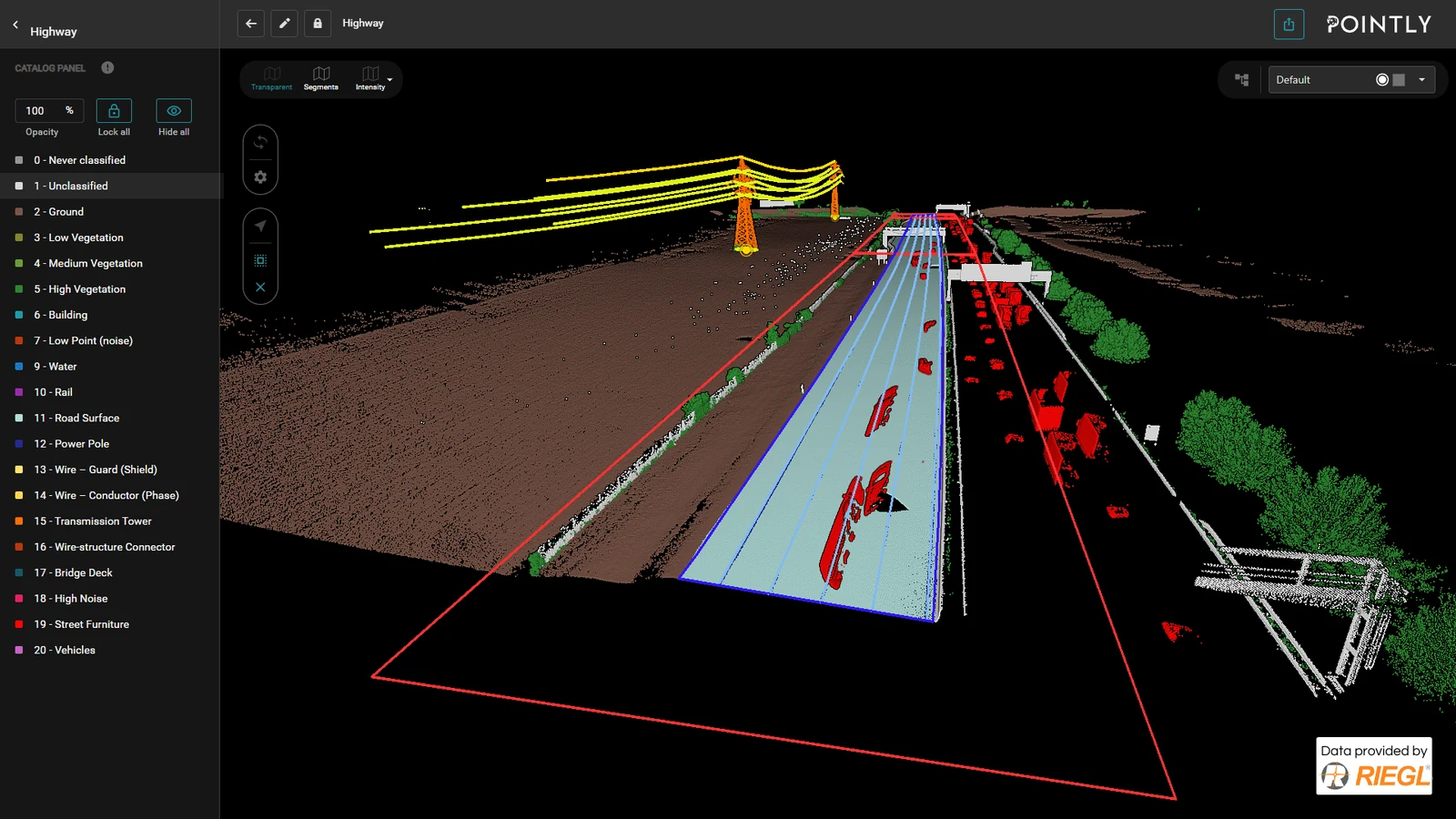
Vectorization moved into the platform: lines, polygons and point features drawn straight onto the classified cloud, in a mode of their own, and exported as geojson.
Create and access AWS S3 buckets from cloud platforms
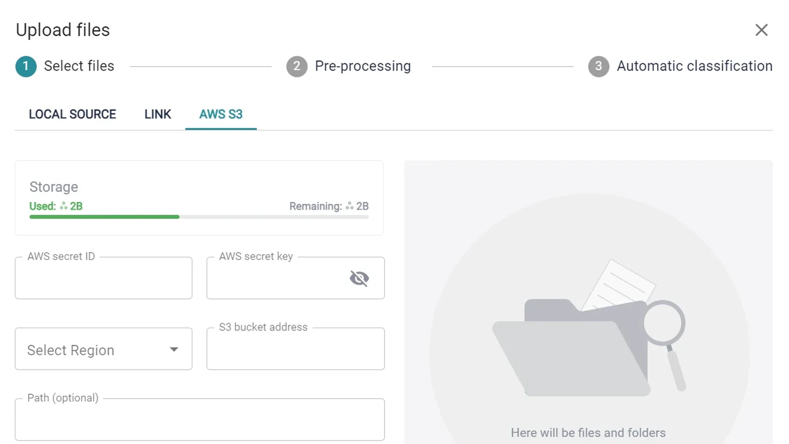
Pointly uploads straight from an S3 bucket. What to create on the AWS side, in what order, and which five fields the platform asks for.
Proving Pointly's scalability: classification of an entire major city
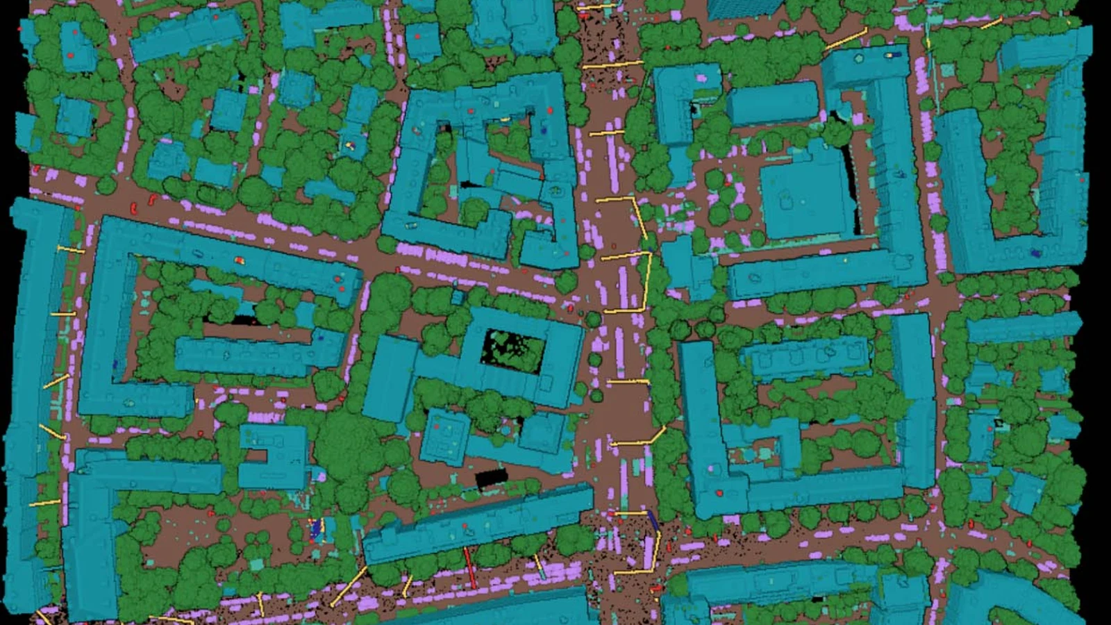
Over 2,370 files and 84 billion points, the aerial lidar of a whole city, run in about five days out of the customer's own storage and back into it.
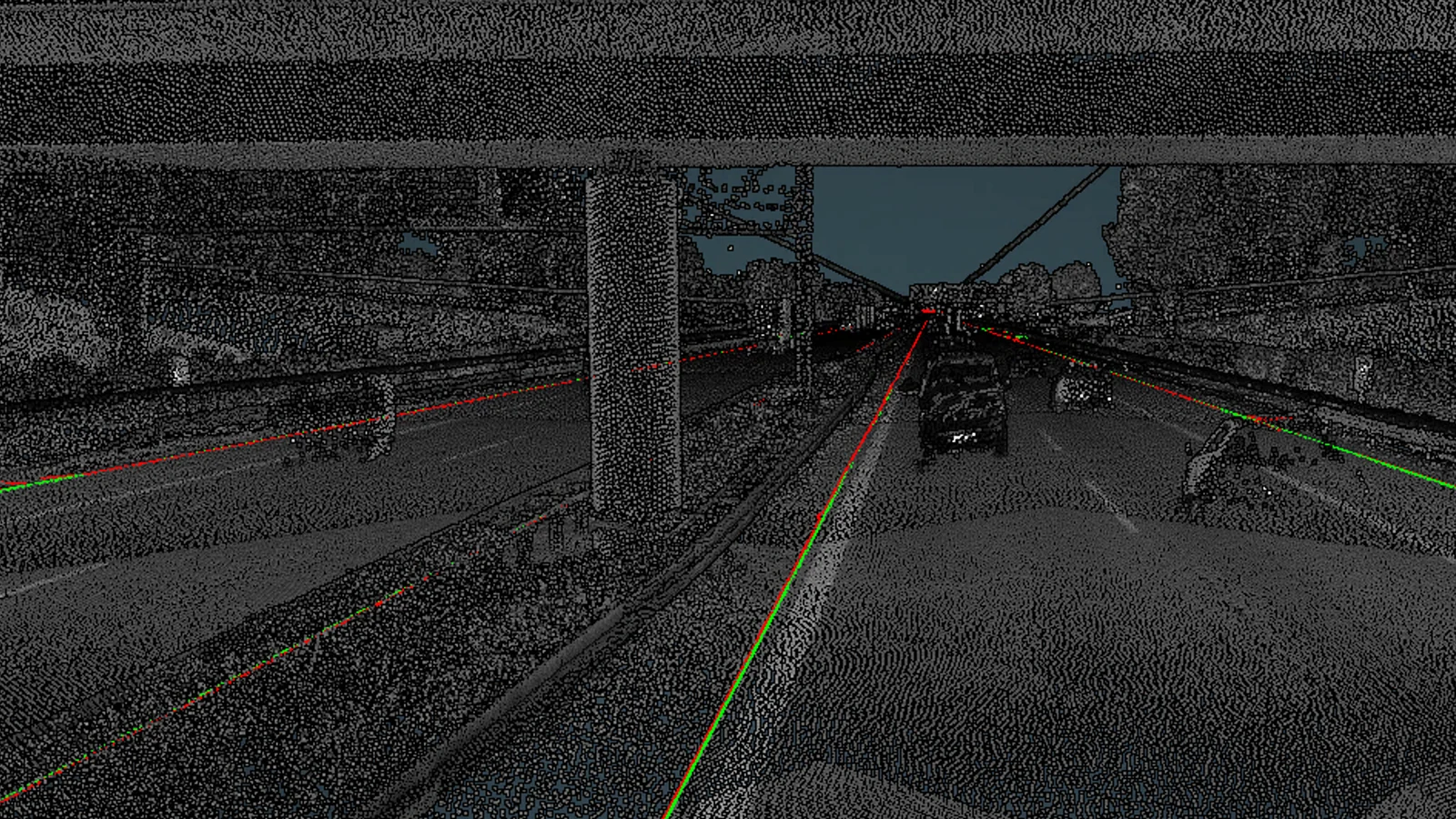
Pointly wins the Geospatial World Excellence Award 2021
Excellence in Transport Infrastructure, for the automatic generation of CAD models from highway scans. Ninety per cent of the detected road outlines were within seven centimeters of the manually drawn ground truth.
How to convert your point cloud data into .Las / .Laz
The tools that convert a point cloud to LAS or LAZ, the Python for a format nothing else reads, and why the version to ask a supplier for is 1.4.
No articles match that.