

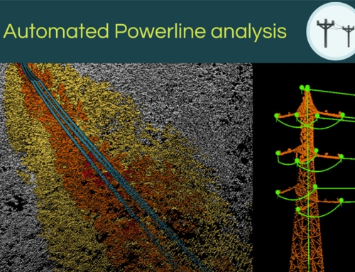
Introducing Pointly’s Point Cloud Classifier for Highways
published: 03.10.2023
In an era of large-scale infrastructure development, the importance of precise 3D models is constantly increasing. In sectors like highway administration, there are many details to consider, such as traffic signs, vegetation, protective barriers or bridges. This makes the ability to ingest, segment, and process objects from point cloud surveys even more challenging. At Pointly, we have built a solution that addresses a wide range of typical infrastructure classification problems and immediately simplifies your work.
Generating digital twins of highways just got easier!
Digital representation of highways has always posed a unique set of challenges. Segmentation accuracy, the ability to separate certain groups of object classes and more have been persistent issues. Our new Standard Classifier is tailored specifically for highways, ensuring quick and easy classification for your dataset.

Manually labeling an entire highway is a tedious and time-consuming task – which you can now automate!
Streamline the classification of highways
Our trained point cloud classifier for highways saves a vast amount of time compared to manual labelling and automates the entire process with high accuracy. Make use of the following benefits:
- Scalable Parallel Processing: Days spent on processing survey datasets containing kilometers of 3D point clouds are now reduced to mere hours, thanks to our current model.
- Automated Classification: The classifier smartly processes the 3D data, ensuring disturbances like vehicle artifacts and excessive vegetation are being classified and can be separated or removed easily. No more manual cleaning or issues related to obscuring vegetation points.
- Surface Segmentation: Beyond the mere acquisition of imagery or classification, our system delves deep into the hierarchical structure of the point clouds. Utilizing deep learning and contextual information, the classifier is able to separate road surface from adjacent ground and other objects, segmenting each point within the highway's ecosystem and its environments.
- Feature Extraction: Highways aren't just stretches of tarmac. They are ecosystems replete with signs, barriers, vegetation, and more. Our classifier ensures that each class is identified separately and utilizes fully scalable cloud processing.
Within one hour, the Pointly platform can classify up to 90 kilometers of highway!
Our model recognizes every detail such as traffic signs or vegetation to ensure correct classification in high-density scans of highways. While it's currently optimized for German and Austrian highways, expansion plans are already on the horizon. One of Pointly’s standout features is its adaptability. Leveraging the power of transfer learning, our classifiers can efficiently adapt to new datasets, making Pointly a future-ready solution.

While the Highway Classifier is trained for German and Austrian highways, a classifier for other highways can be trained through transfer learning.
At Pointly, we can adapt 3D point cloud classification to your individual data, with just one small sample dataset to improve the process of classification significantly! Especially highways can be challenging environments, considering that they’re diverse all around the world. Our classifier processes great amounts of point clouds at an unmatched speed, ensuring that every point and every segment of a highway is analyzed, making it ideal for vast segmentation tasks.
Experience the Highway Classifier yourself
We offer a range of classifiers, perfectly fitting for your dataset:
- Point Cloud Standard Classifiers for semantic segmentation to automate classification for a variety of use cases.
- Point Cloud Custom Classifier trained and tested specifically to classify your individual use case or project.
Why not try the Standard Classifiers for free? Convince yourself of their capabilities, by uploading up to 3 Point Clouds! Begin your journey with our Free Account.
Engage with us!
Have you had the opportunity to use our Standard Classifier for highways? You have questions whether it is suitable for your dataset? Encountered any issues? We're here to offer solutions tailored to your unique needs. Contact us!
Pointly – Point out what matters.
Pointly is an intelligent, cloud-based software solution to manage and classify 3D point clouds – faster and more precise than ever before.
With Pointly Services you can get on-demand advanced 3D point cloud solutions tailormade for you.


Leave A Comment