Introducing Pointly's new Mobile Mapping Classifier for city inventories
3 min readCities, Product
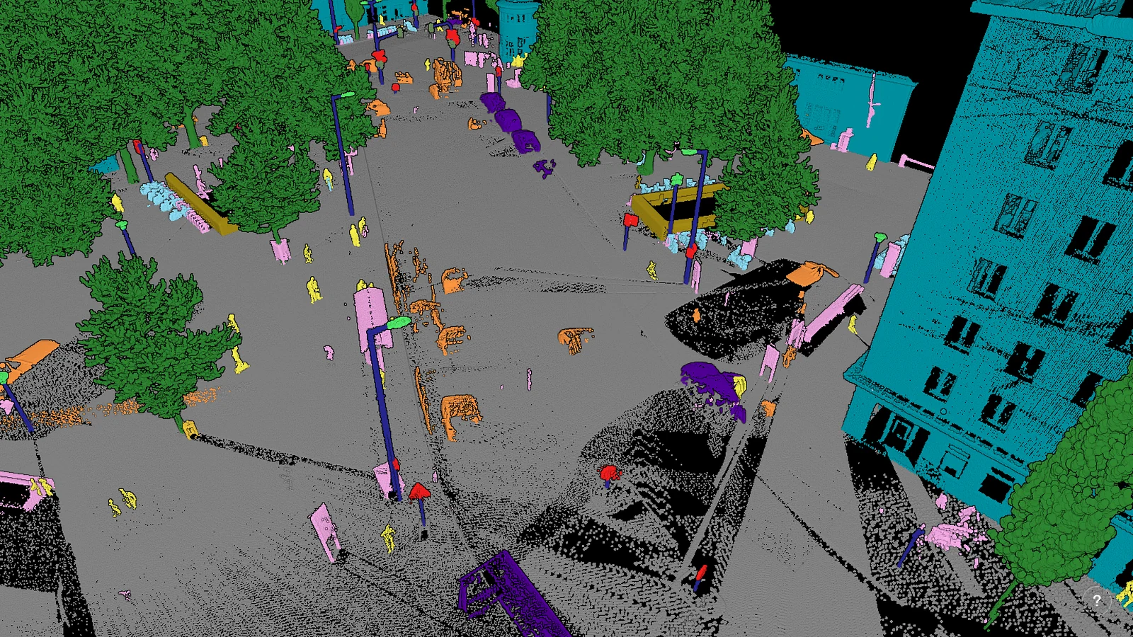
As cities evolve, so does the need for advanced digital representations to support urban planning and development.
Capturing the essence of urban environments accurately demands a tool that can effortlessly navigate through the complex diversity of city elements. Adding to our range of existing specialized AI models, we introduce a new classifier for the automatic classification of Mobile Mapping City Scans.
Pointly's new Standard Classifier for city inventories is engineered to meet these challenges head-on, transforming the way city objects are detected and classified.
Elevating cityscape digitization to new heights
The urban landscape is a tapestry of various elements, from buildings and street furniture to trees and vehicles. Our Mobile Mapping Classifier is custom-designed to handle this complexity, offering an unparalleled solution for the segmentation and classification of urban point cloud data.
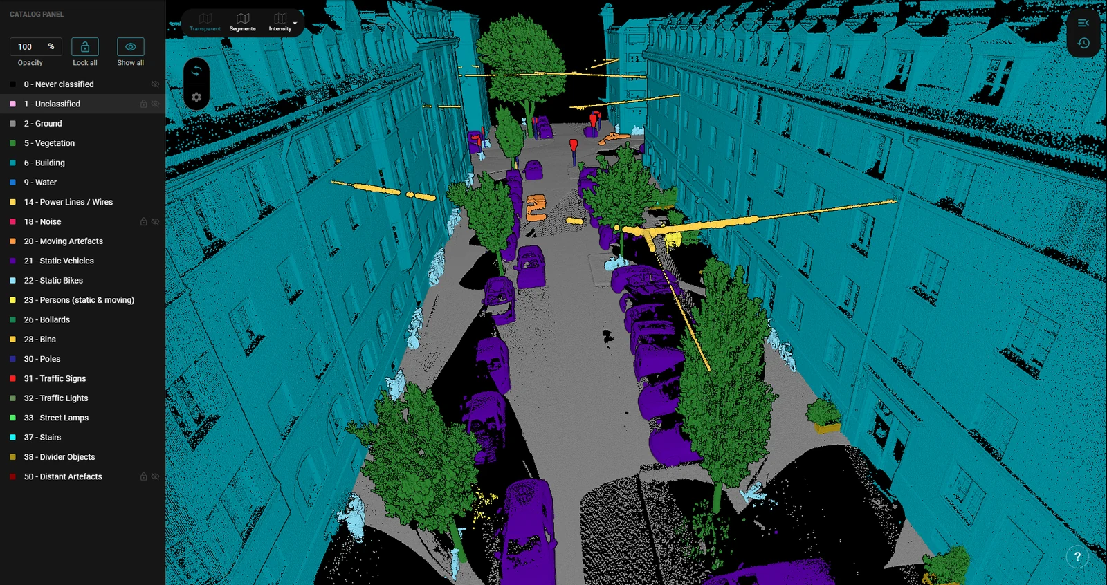
Here is how you benefit:
- Scalable parallel processing. Our classifier reduces what used to take days into just hours, thanks to parallel and scalable cloud processing.
- Automated object classification. Using deep learning, our system distinguishes between urban surfaces and objects, improving digital twin projects.
Import into existing workflows
With the Pointly Platform, you can call the classification of our Classifier via API, making it easy to import the classification process into existing workflows, for a complete automation during the process.
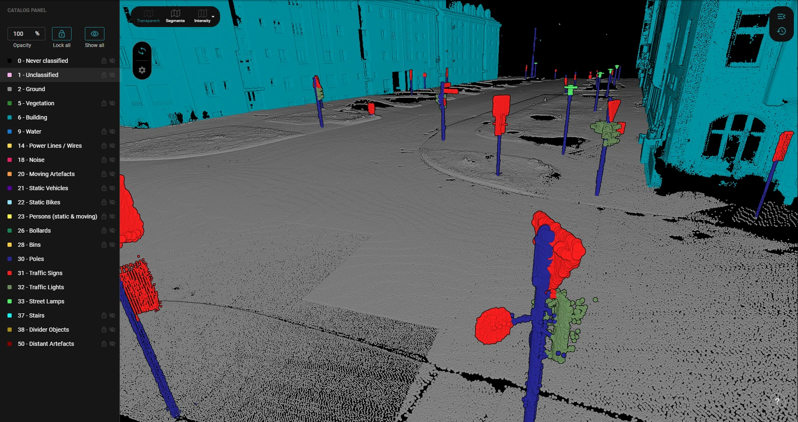
Your own digital twin project made easy with Pointly
Enhance your Digital Twin Project with our new Classifier, which can serve as a baseline model for further custom developments. We can tailor a custom classifier for your specific project using technologies such as transfer learning, ensuring that we meet your goals quickly and efficiently.
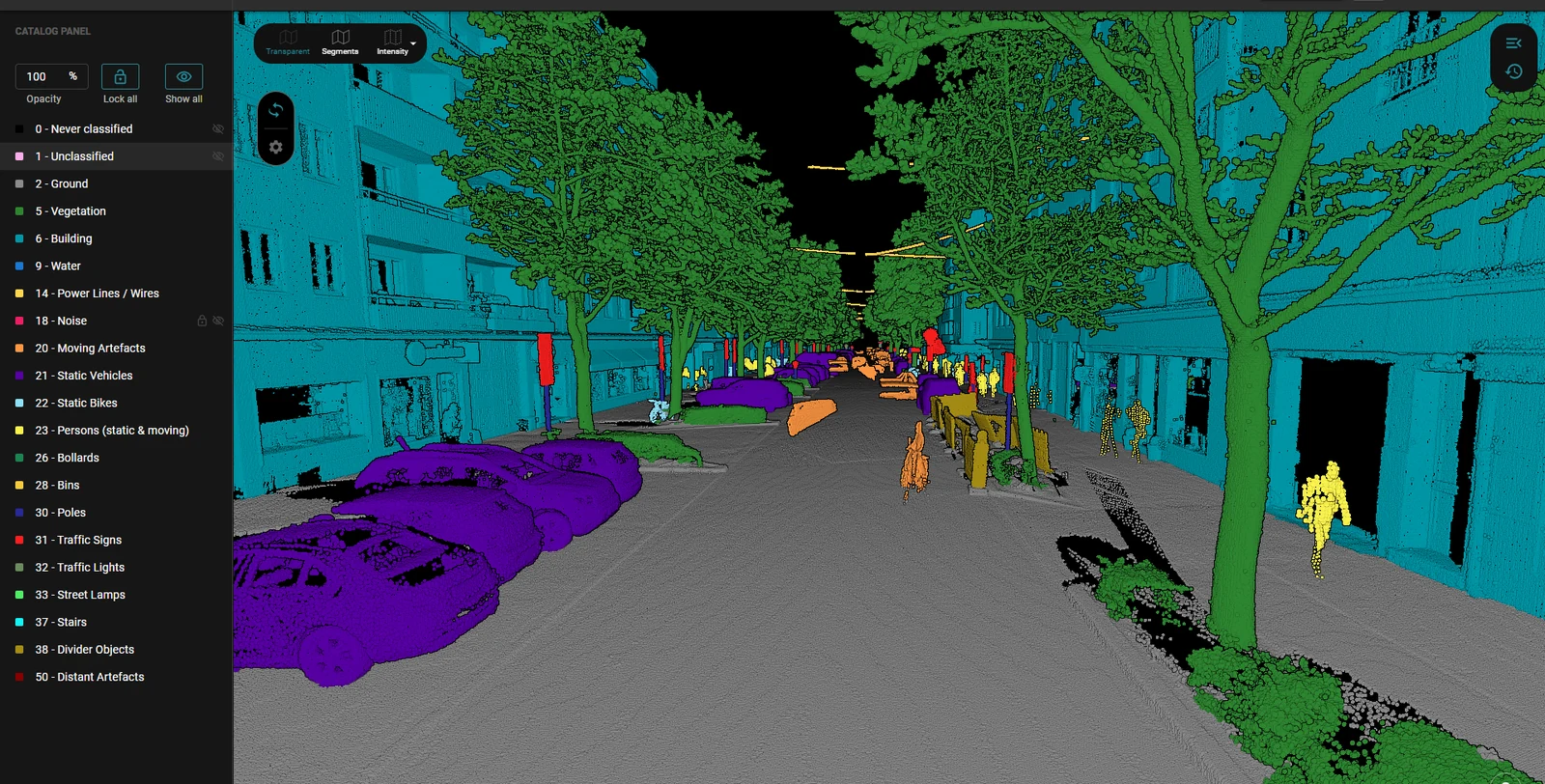
Training data and requirements
Our classifier has been trained iteratively on multiple datasets from Germany and Austria. It functions optimally with high-resolution mobile mapping scans.
Parts of the training data were derived from the city-wide open dataset provided by the City of Vienna, alongside further mobile mapping datasets. Data source: City of Vienna, data.wien.gv.at.
Connect with us
In addition to our new Mobile Mapping City Inventory Classifier, we offer a suite of additional classifiers, each designed to seamlessly integrate with your specific project requirements.
Our standard classifiers for airborne laser scanning and highway scans are engineered for efficient, automated semantic segmentation across a wide range of scenarios.
Should you have a specific use case in mind, we are always ready to develop a custom Point Cloud Classifier tailored specifically to the unique characteristics of your project or application. Please feel free to contact us anytime.
Why not test the capabilities of our standard classifiers for free? Upload up to three point clouds with a free account and embark on your journey toward enhanced digital modeling of urban environments.
Read more about Cities.
Read next