Pointly wins the Geospatial World Excellence Award 2021
4 min readRoads and highways, Projects
20 to 22 October 2021 in Amsterdam, Geospatial World Forum.
The Geospatial World Forum is one of THE geospatial events in the world enabling its community to meet, discuss and learn. This year, attendees from more than 60 countries could listen to over 200 presentations and visit exciting exhibitors with plenty of time for in-depth one-on-one discussions.
A significant highlight throughout the years has been the Geospatial World Awards, where the best geospatial solutions from around the globe get honoured by an international jury.
At this year's 13th edition, the jury consisting of Alessandro Annoni (President of International Society for Digital Earth), Josef Strobl (Professor, Head of Geoinformatics Department at the University of Salzburg), Serena Coetzee (Professor, Director of Center for Geoinformation Science at the University of Pretoria) and Geoff Zeiss (Principal of Between the Poles) had to select from over 100 nominees.
We have won the Geospatial World Excellence Award in the category "Excellence in Transport Infrastructure".
We were delighted to accept the award together with our customer Die Autobahn and our partner Cloud-Vermessung + Planung GmbH for our joined project "Deep Learning for automatic creation of CAD models from highway point clouds". The following video shows key takeaways from the project in 40 seconds.
Deep learning for automatic CAD models from highway point clouds, 40 seconds, opens on YouTube in a new tab.
Die Autobahn states "The approach is very promising and will make the use of point clouds faster and more cost-effective in the future."
In a plenary discussion at the Geospatial World Forum, Dr Jochen Eid, head of the business division Planning and Construction at Die Autobahn, explains in detail the meaning of the project for Die Autobahn and its implementation, starting at minute 17:15.
What was the project all about?
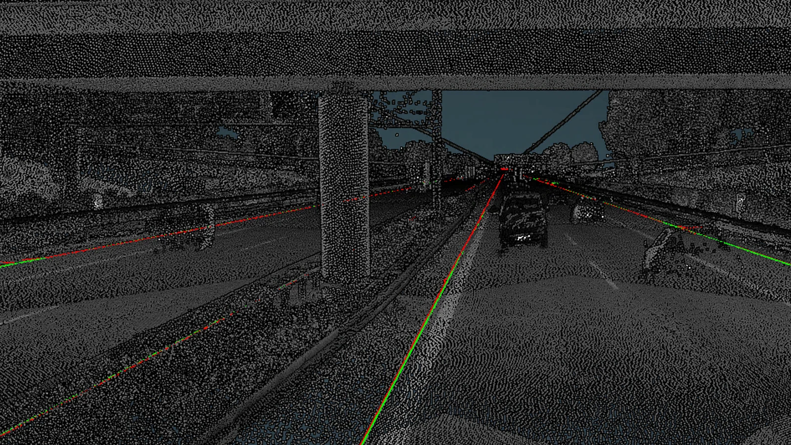
The goal of the project was the automatic creation of CAD models from high-density LiDAR scans of Bavarian highways. The survey of the existing road network is conducted regularly and, on a case-by-case basis in the context of new construction, conversion and extension projects. The derivation of CAD objects from these point clouds has so far been carried out in a downstream manual process, which, like the acquisition of data, is regularly performed by external service providers, in this case by Cloud-Vermessung + Planung GmbH, and is associated with high time and cost expenditures.
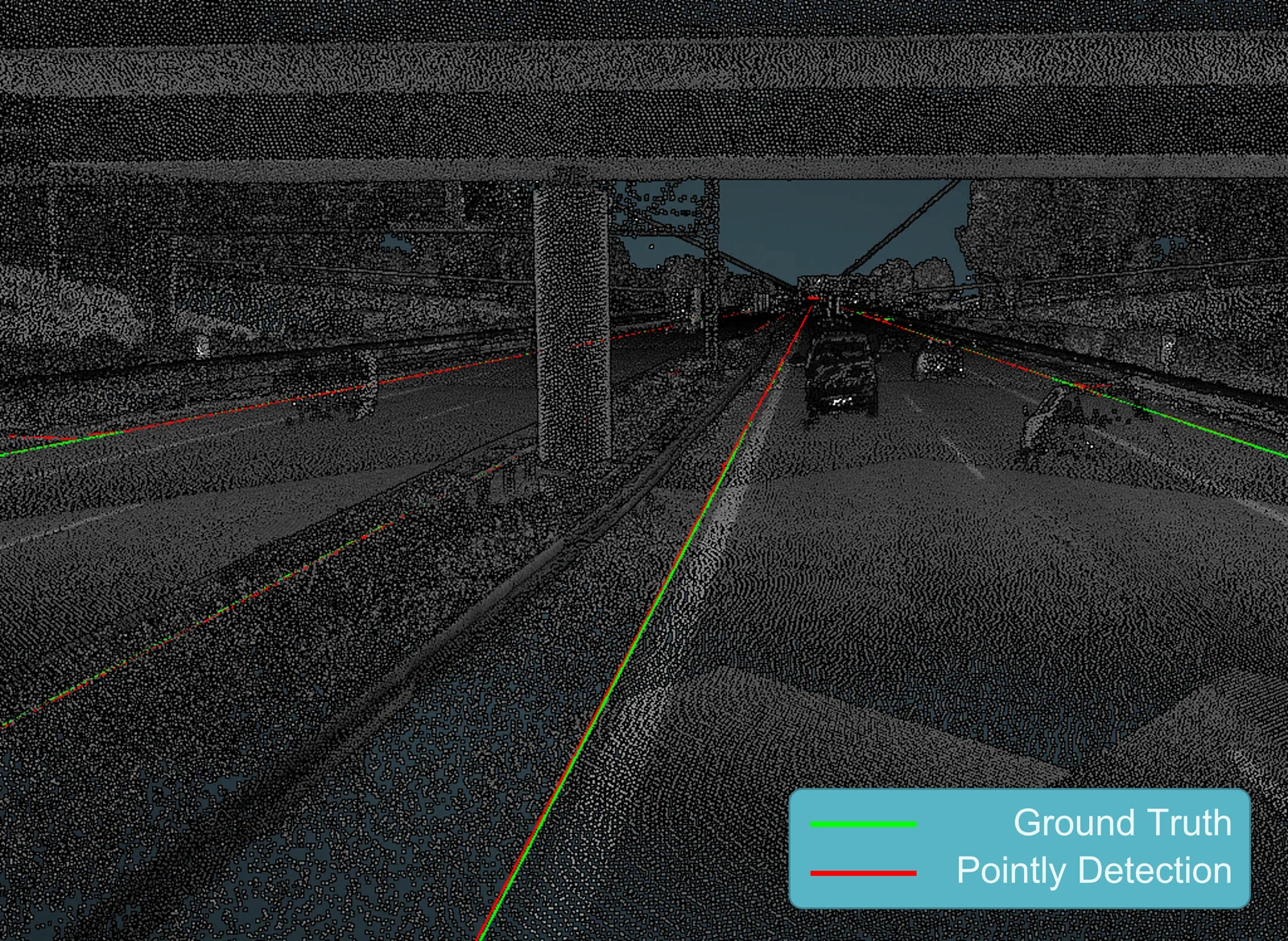
The measurement and manual evaluation of highways via 3D point cloud scans are very complex, cost-intensive, and time-consuming activities and tie up resources. In order to accelerate analysis tremendously and make them scalable to very large amounts of data, we automated the CAD model generation with the help of AI. Hereby we focused on the extraction of the exact border, the lines, between the asphalt and soil. Those lines are difficult to find as asphalt and soil are on the same level and thus are hard to distinguish for a machine. Hence, very detailed manually drawn CAD models from previous surveys of the highway, done by Cloud-Vermessung + Planung GmbH, were used to train Pointly's neural network to automate the extraction of the CAD lines for new point clouds. To do so, reusable data and processing pipelines were developed to minimize needed effort for follow-up projects. In addition, post-processing steps were added to the pipeline to enhance the results by automatic removal of outliers and a soft smoothing of the line to remove unwanted bumps while keeping the complex details of the road.
In a direct comparison to the manually drawn ground truth, the precision of the detected road outlines was evaluated in the process.
Achievements
- Successful development and application of a massively scalable pipeline that digests huge amounts of high-resolution LiDAR point clouds to generate CAD drawings automatically.
- Very low deviation: 90 % of the detected road outlines were within 7 cm of the hand drawn ground truth.
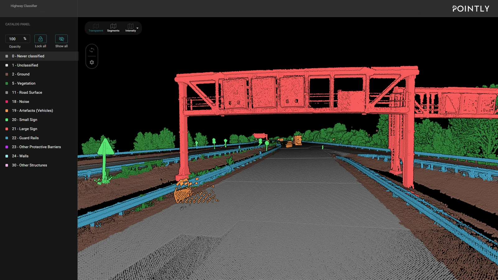
- In addition, the point clouds were fully classified with on average 93 % precision, which creates further opportunities for analysis.
- The used approaches are highly flexible and transferable and can also be applied to street markings, guiding rails, buildings, bridges and bridge parts. All developed pipelines are modular and reusable.
Outlook
By automating the manual generation of CAD models, for example the whole highway including overpasses and other building structures, it will be possible to measure much larger road sections in a fraction of the time in the future while human error is minimized in the process. Costs will be reduced considerably, and the effort can be minimized.
The functionalities generated in this project will be implemented into the Pointly Platform to become available on-demand for customers.
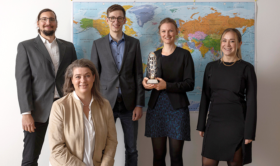
Geospatial World Award for our Pointly team: Leonardo Costa (Full-Stack Developer), Sid Hinrichs (Strategy, Finance & Sales), Lilli Kaufhold (Senior Data Scientist), Francie Kastl (Marketing & Sales), Stefanie Supper (CEO).
What that work grew into is on the roads and highways page.
Update. The figures here are from the 2021 proof of concept. The classifiers have moved on since, and the accuracy Pointly commits to today is over 95 % across an evaluated catalog.
Read more about Roads and highways.
Read next