Proving Pointly's scalability: classification of an entire major city
3 min readCities, Projects
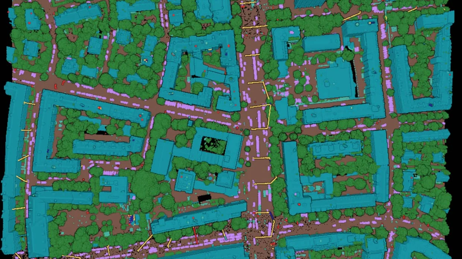
In the era of digital transformation, cities around the world are harnessing the power of technology to create detailed and up-to-date digital twins. These virtual replicas serve various use cases, from urban planning and infrastructure management to improving the overall quality of life for residents. The city of Munich, known for its progressive approach to smart city initiatives, has been actively involved in performing yearly surveys to develop a comprehensive digital twin of its city. In order to process the aerial datasets, they reached out to us. Therefore, we were given the opportunity to support them in this endeavor. Have you ever wondered how scalable our Pointly Platform is and if it is possible to process an entire city? Thanks to this cooperation you will get a clear answer: yes. Our platform has been instrumental in classifying the aerial lidar datasets of the city of Munich, contributing to the goal of creating a digital twin of the city that can be used for various use cases.
Training the model on the Munich dataset
To train the model used in the Pointly Platform, a significant amount of training point cloud data was generated by manually classifying approximately 2.5 square kilometers of the Munich aerial dataset. We were supported in this task by our trusted partners at People for AI. As a baseline model, Pointly's airborne laser scanning standard classifier provided a solid foundation for the model training. In addition, the trained model was further enhanced by incorporating RGB values and optimized specifically for the Leica CityMapper-2 scanner model used for the survey. This approach ensured that the classification results were tailored to the unique characteristics of Munich's urban scenes.
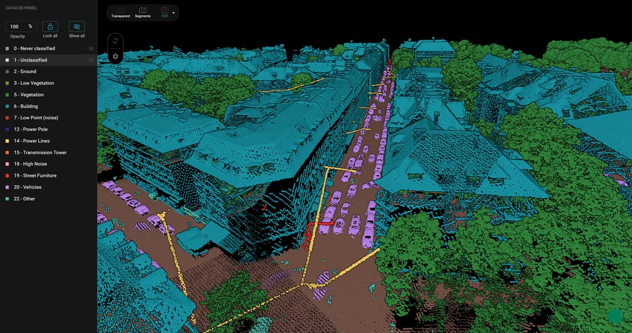
Classification of the point cloud dataset
The point cloud classification process performed using the Pointly Platform was a remarkable feat in terms of efficiency and scale. The entire dataset encompassing the city of Munich was processed, which involved handling a significant amount of data. The processing duration spanned about 5 days, showcasing our platform's ability to handle large-scale datasets effectively without interruptions.
During the classification process of the aerial datasets of Munich, over 2370 files were processed, comprising a staggering 84 billion points. Leveraging the power of Pointly's API, the data was fetched from an Azure blob storage, allowing for seamless integration with cloud-based storage infrastructure. The classification results were then saved back to the same storage, creating a streamlined workflow that minimized effort and ensured easy access to the processed data. The collaboration was a complete success, and the city of Munich is now able to leverage the classified dataset for various use cases enhancing their digital twin.
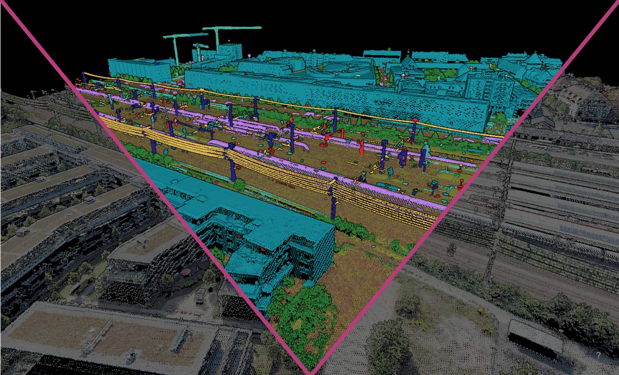
Successful processing of large amounts of data in a short time
This project perfectly demonstrates the Pointly Platform's scalability and ability to process an entire city's worth of data to capture large-scale urban environments. By leveraging advanced algorithms and cloud computing resources, Pointly enables efficient data processing and classification, making it suitable for handling complex projects such as creating digital twins of entire cities.
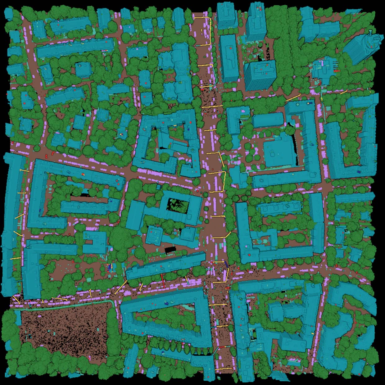
Do you have a similar project yourself or something completely different and you would like to use our Pointly Platform? Or do you have any questions about the classification and ranking options? Please feel free to contact us. Our experts will provide you with comprehensive advice so that you achieve the best possible results.
Update. This run predates the mobile mapping classifier, which shipped in May 2024. A city captured from a vehicle today runs on the city inventory classifier, and what that covers is on the cities page.
Read more about Cities.
Read next